The West Plains Subarea Transportation Management Plan, Phase 1, US 2 Vicinity study is a “live” ongoing study that will be updated for years to come via this project webpage when new data becomes available.
During the Phase 1 study, the webpage hosted project related data throughout the study process and included links to project surveys. The webpage also served as the host site for two online open houses. A summary of public and stakeholder engagement over the course of the study is provided below.
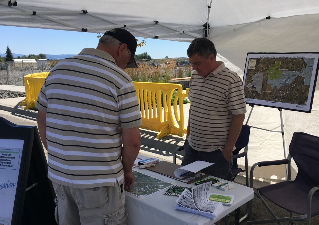
Community Listening Posts
In 2019, the public was engaged through the use of several “listening posts” at community activity centers and events, including:
- Medical Lake Founders Day
- Sunday Fest at Northern Quest Resort & Casino
- Airway Heights Festival
- Fairchild Air force Base
- Yokes Grocery Store
- Smart Commute NW Employee Transportation Coordinators Luncheon – September 2019 (PDF 2.4 MB)
- Growth Management Act (GMA) Steering Committee of Elected Official Meeting – September 2019 (PDF 2.8 MB)
The above events involved an information listening post where we shared information and received input on opportunities to address the multimodal transportation system in the study area and along the study corridor.
Community Engagement Surveys
The community also provided input via three surveys. Nearly 1,500 total surveys were received from citizens that live and work both inside and outside of the West Plains area. All surveys were open for 90 days during April, May, and June and were available to take online or at community listening posts. Partner agencies, such as the City of Spokane, helped advertise the West Plains surveys on their website, blog and social media accounts and the survey links were promoted by the City of Airway Heights via the Nextdoor mobile application. WSDOT also posted the survey links on this webpage. The table below describes the three surveys and number of responses.
Summary of Surveys
| Survey | Purpose | Responses |
|---|---|---|
| West Plains Subarea Transportation Management Plan Survey Questions (June 2019) | Receive input about improving mobility around the US 2 corridor | 634 |
| West Plains Subarea Transportation Management Plan – Typical Daily Travel Survey (June 2019) | Identify when and why participants use the US 2 corridor | 447 |
| West Plains Subarea Transportation Management Plan Supplemental Survey (June 2019) | Identify focus topics and rate Airway Heights as a place to live / work / visit | 408 |
An analysis of the survey results found that several major themes emerged about the community’s perception of the West Plains and US 2 corridor that have significant overlap across the three surveys and should be considered in an effort to respond to the community’s preferences:
- Enhance the local roadway network connections and traffic control
- Enhance the bicycle and pedestrian mobility with sidewalks, trails, and bike lanes
- Encourage housing developments to integrate green space for children and families that are well connected to existing and future trails and other desired destinations
- Enhance the capacity of Fairchild Air Force Base’s main gate to relieve congestion on US 2 or improve connection from 1-90 to the main gate
- Support projects that enhance public transportation
In summary, while traffic congestion is of concern to West Plains commuters, opportunity exists to improve safety for all users by enhancing bicycle and pedestrian connections and improving the local network.
Online Public Open Houses
WSDOT also held the following online meetings via the Zoom video conferencing software to engage the public:
- August 24, 2021 (5:00 pm to 7:30 pm)
- August 26, 2021 (Noon to 2:30 pm)
The online meetings were supplemented with an Online Engagement Virtual Open House. The content provided for this online open house has been preserved on the 2021 Online Open House page .
Prior to the online events, a postcard with information regarding the Zoom meetings and online open house was sent to study partners to share on their websites. The information was also shared via social media platforms including the WSDOT Facebook and Reddit accounts along with the West Plains Nextdoor group.
Stakeholder and Other Project Meetings
Study partner jurisdictions were involved throughout the study, providing important input that shaped the study outcomes. The following summarizes their involvement.
- Technical Advisory Team (TAT) – Consisted of professional staff from WSDOT and partner agencies, met regularly to provide technical assistance and make key decisions, including the methodology for this study. All study milestones and phases were collaboratively developed and refined though the TAT. More information about the TAT is available on the Contact / About Us page.
- Practical Solutions Lab/Workshop – A two-day virtual workshop held in the spring of 2021 consisting of TAT members and WSDOT Subject Matter Experts (SMEs). The purpose of the workshop was to collaboratively develop strategies that would then be evaluated using “Performance Measure Goals” to develop low-cost Practical Solution strategies in order to improve mobility and safety along the US 2 study corridor. More information about the Practical Solutions Lab/Workshop is available on the Final Outcomes / Practical Solutions page.
- Final Study Report-Out Meetings – WSDOT Eastern Region Planning met with all study partner jurisdictions and agencies to report out the study findings and to receive concurrence of the emerging strategies that were developed through the study efforts.
In addition, Eastern Region Planning presented to the WSDOT Headquarters M2 multi-disciplinary team comprised of traffic engineers, planners, transportation engineers and others throughout the study process. The M2 team provided oversight of the study, offering suggestions and study procedural guidance. Eastern Region Planning met with the M2 team at the beginning, middle, and end of the study process.