• Skip to main content
  • Jump to navigation
  • Search
Globe

IE10 and below are not supported.

Google Chrome Mozilla Firefox

Contact us for any help on browser support

You are here:

  • Home
  • Olympic Peninsula 2026 construction

Maps

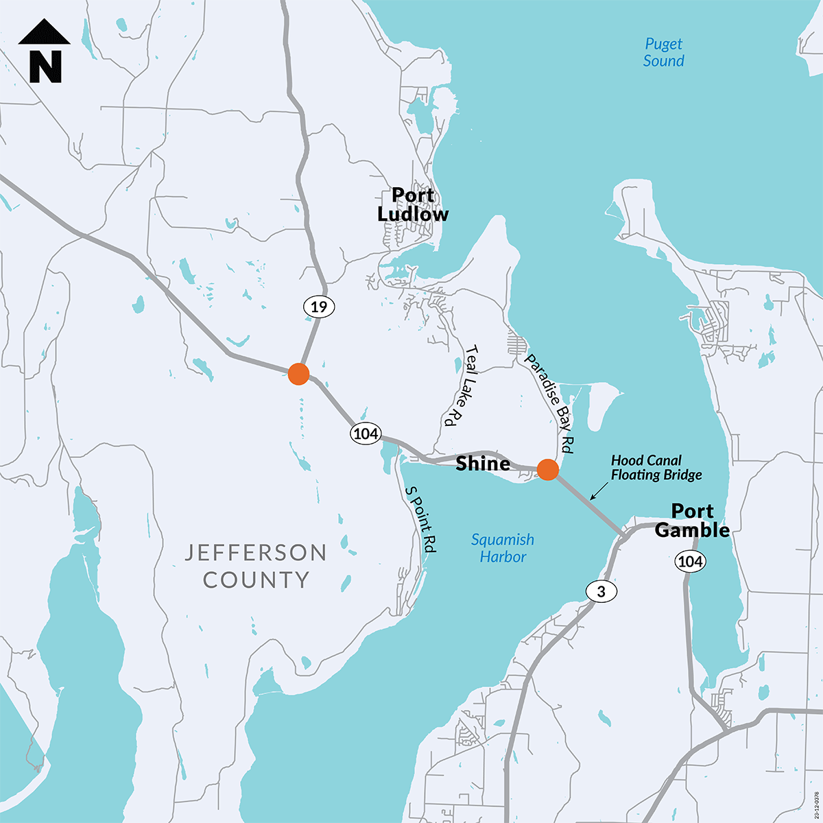
Map showing location of SR 104 – Paradise Bay – Shine Road – & SR 19 Intersection Safety Improvements project
previous next
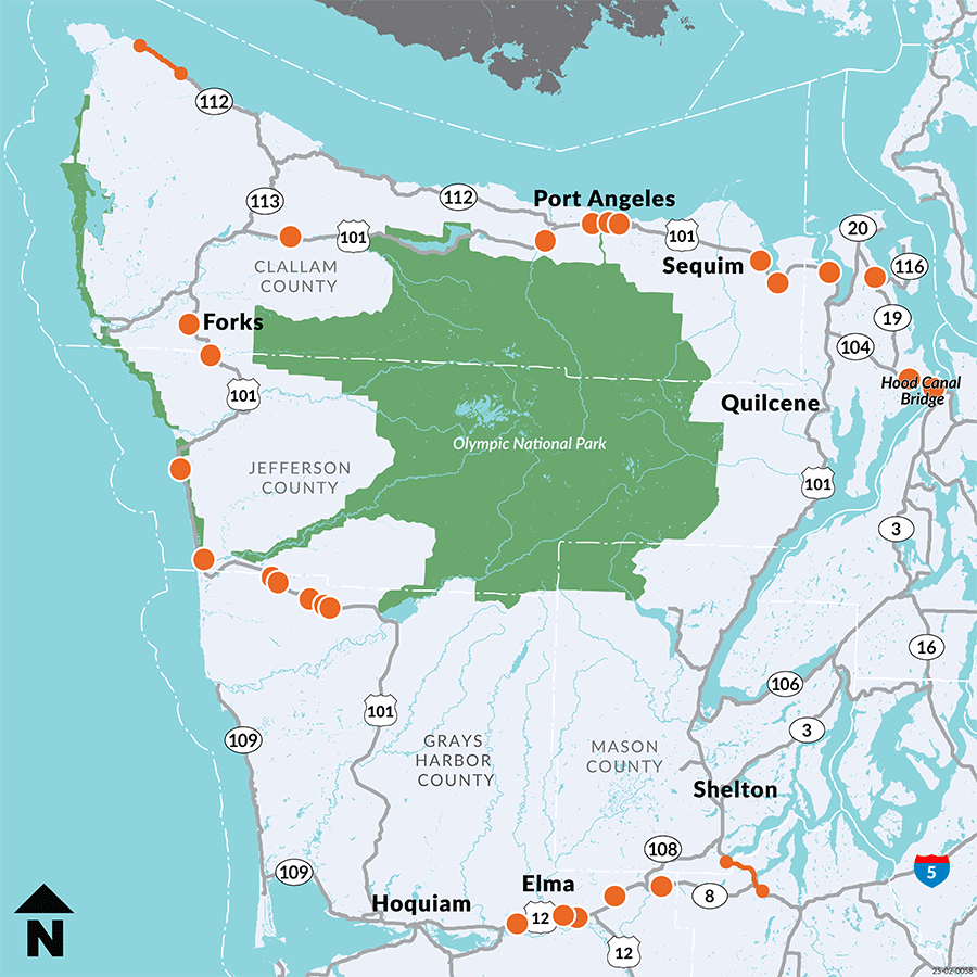
Map showing with orange dots and lines showing 2026 work zones along US 101, SR 104, SR 109, SR 112, SR 116.
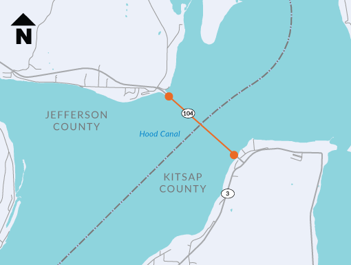
Map showing location of SR 104 – Hood Canal Bridge – Center Lock Rehabilitation project
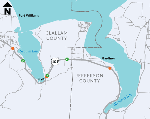
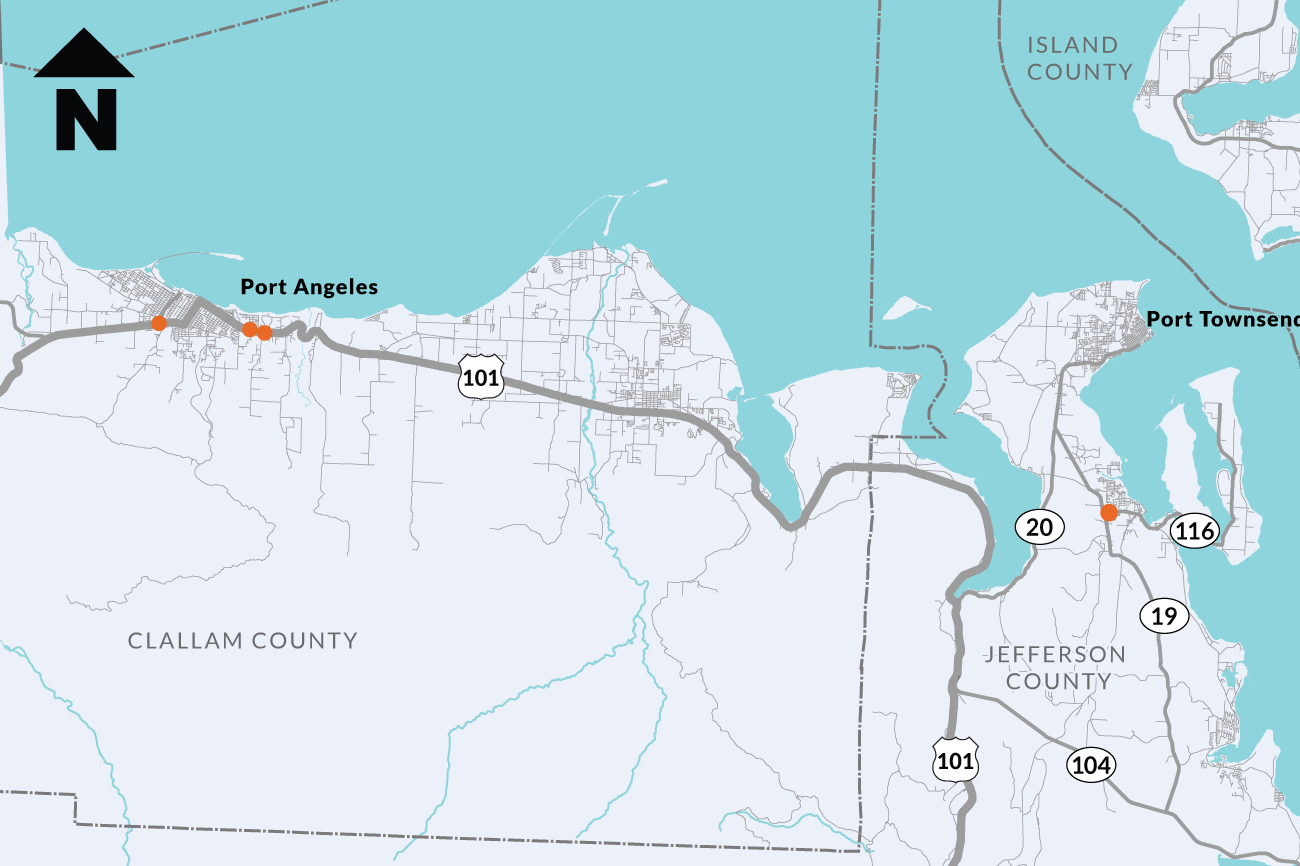
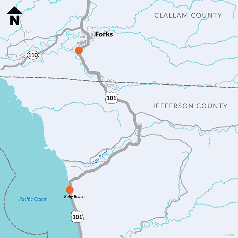
Map showing the location of US 101/SR 116 North Olympic Peninsula fish passage projects
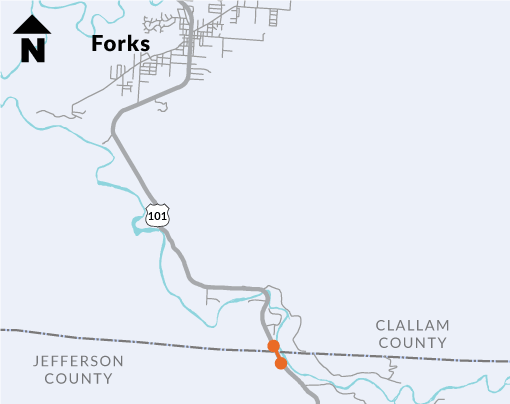
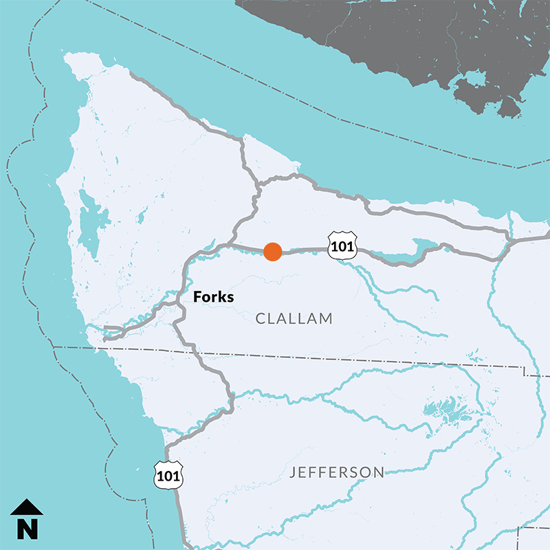
Map showing location of US 101 – May Creek in Vicinity of Dowans Creek Road fish passage projects
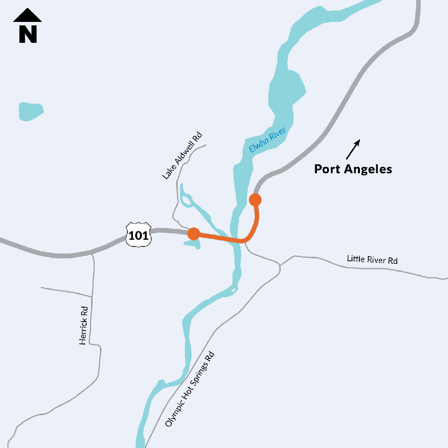
Map of US 101 Grader fish passage project location
Map showing location of SR 104 – Paradise Bay – Shine Road – & SR 19 Intersection Safety Improvements project
Map showing the location of paving work along SR 112 between Sekiu and Neah Bay.
Map showing locations of five fish passage work zones along SR 109 between Taholah and Moclips.
Map showing an orange line from Ocean Beach Road north of Aberdeen to Queets at the Grays Harbor County line indicating the paving project area.