For both the bridge replacement and the long-term vision for SR 525 Corridor from MP 5.72 to MP 8.47 , WSDOT is considering several types of bicycle and pedestrian facilities. Your input will help us prioritize the right mix. The SR 525 Spur Vic to Mukilteo Ferry Terminal – HMA Paving and ADA Compliance project is segments 1 to 3 on the map, and the SR 525 Mukilteo Bridge Replacement project is segment 4 on the map.
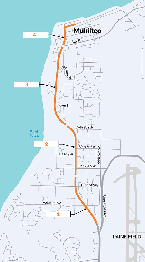
There are three bike and pedestrian options identified for each of the segments:
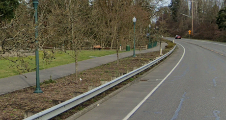
- Shared use path: A wide, paved path for people walking and biking, separated from vehicle traffic
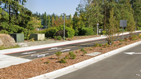
- Separated bike lanes: A bike-only lane physically separated from vehicles and sidewalks in the direction of vehicle travel.

- Separated two-way bike lanes: A separated two-way bike lane one side of the street.
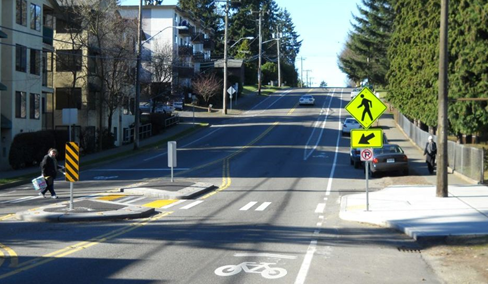
Additionally, Enhanced Crossings which provide safer, more visible crosswalks with features like pedestrian islands, curb extensions, or accessible signals are being considered.
The next four pages detail the options for each segment.