Welcome to our online open house!
We want to provide more information about this project and help answer questions you may have about the work and timeline.
In this online open house, you’ll learn more about the project, including:
- The project design and construction schedule
- What’s being built and where and how
- Noise, dust and vibration effects
- How to stay informed, sign up for updates and share your comments and questions
To navigate the pages of this open house, click the “prev” and “next” buttons at the bottom of the page. You can also navigate to a specific page by clicking its title in the open house navigation.
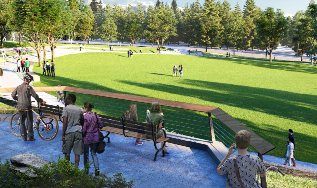
Throughout the online open house, you will see renderings and images of current conceptual designs such as the one above. As part of the design-build process, we are continuing to refine and finalize the project elements and design. The final project may look different once completed.
When does the Portage Bay Bridge and Roanoke Lid Project start?
The Washington State Department of Transportation will begin construction on this project in mid-October 2024. We expect to complete construction in 2031.
What’s happening now?
In April, the project contractor, Skanska, began working in the area to gather information about soil types, utility locations and other factors that will shape the project’s final design. This fall crews will begin to build the new temporary work trestle in Portage Bay and install support structures (piles) throughout the project area.
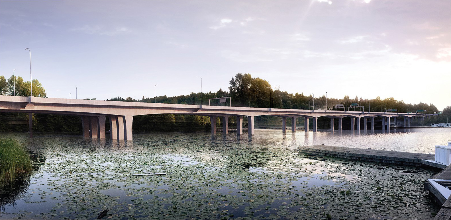
What is the Portage Bay Bridge and Roanoke Lid Project?
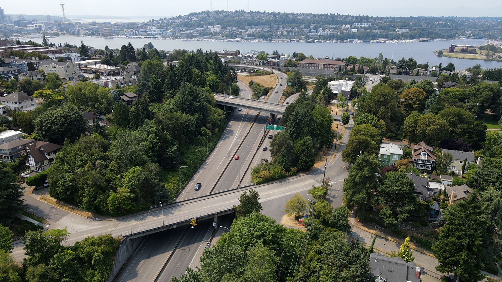
The Portage Bay Bridge and Roanoke Lid Project is the last major project in the SR 520 corridor, completing SR 520’s east-to-west reconstruction from I-405 to I-5. Like other 1960s-era bridges, the Portage Bay Bridge was built with hollow concrete columns that could collapse in a severe earthquake. This project will replace the old, structurally vulnerable Portage Bay Bridge with two parallel, seismically resilient bridges. The project will also build a landscaped lid over SR 520 between 10th Avenue East and Delmar Drive East, complete the highway’s transit/HOV system between the Eastside and Seattle, and extend the regional SR 520 Trail across Portage Bay to the lid and local trail networks.